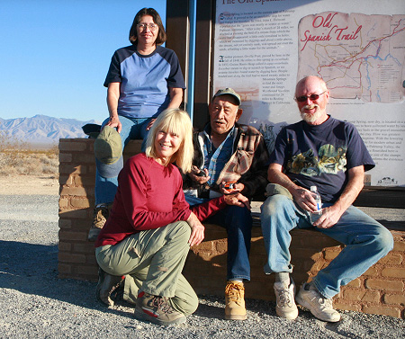
Tecopa Chapter
Jack Prichett, President
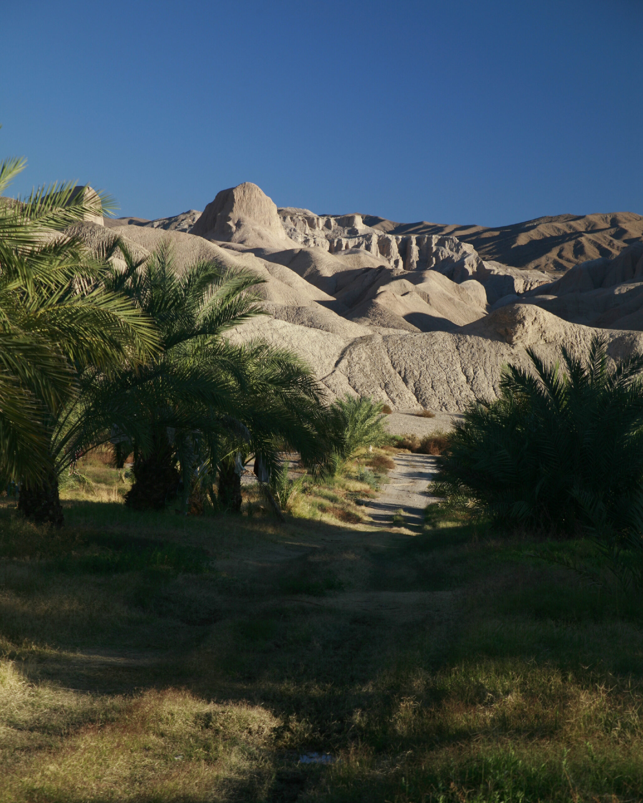
 OSTA’s Tecopa chapter works on Mojave Desert segments of the OST east of Death Valley, on land between the California-Nevada state line and Salt Springs, a stop on the trail at the head of California’s Silurian Valley. The chapter has located and GPS-recorded some 40 miles of the OST (a trace left by Mexican mule caravans) and the later Mormon Road, a wagon road that was used after 1849 as a “southern route” from Utah to California. Nearly all the recorded sections lie on publicly owned land managed by the Bureau of Land Management.
Between 2011 and 2013, the Tecopa chapter represented OSTA in hearings held by the California Energy Commission regarding a proposed solar generating plan in Inyo County that would have impacted extant sections of the Trail and the Mormon Road. Today the chapter is converting its data, collected between 2007 and 2017 into GIS (Geographical Information Systems) shape files, for use by government agencies. In this project we are engaged with the BLM and the National Park Service, the Federal co-administrators of the OST.
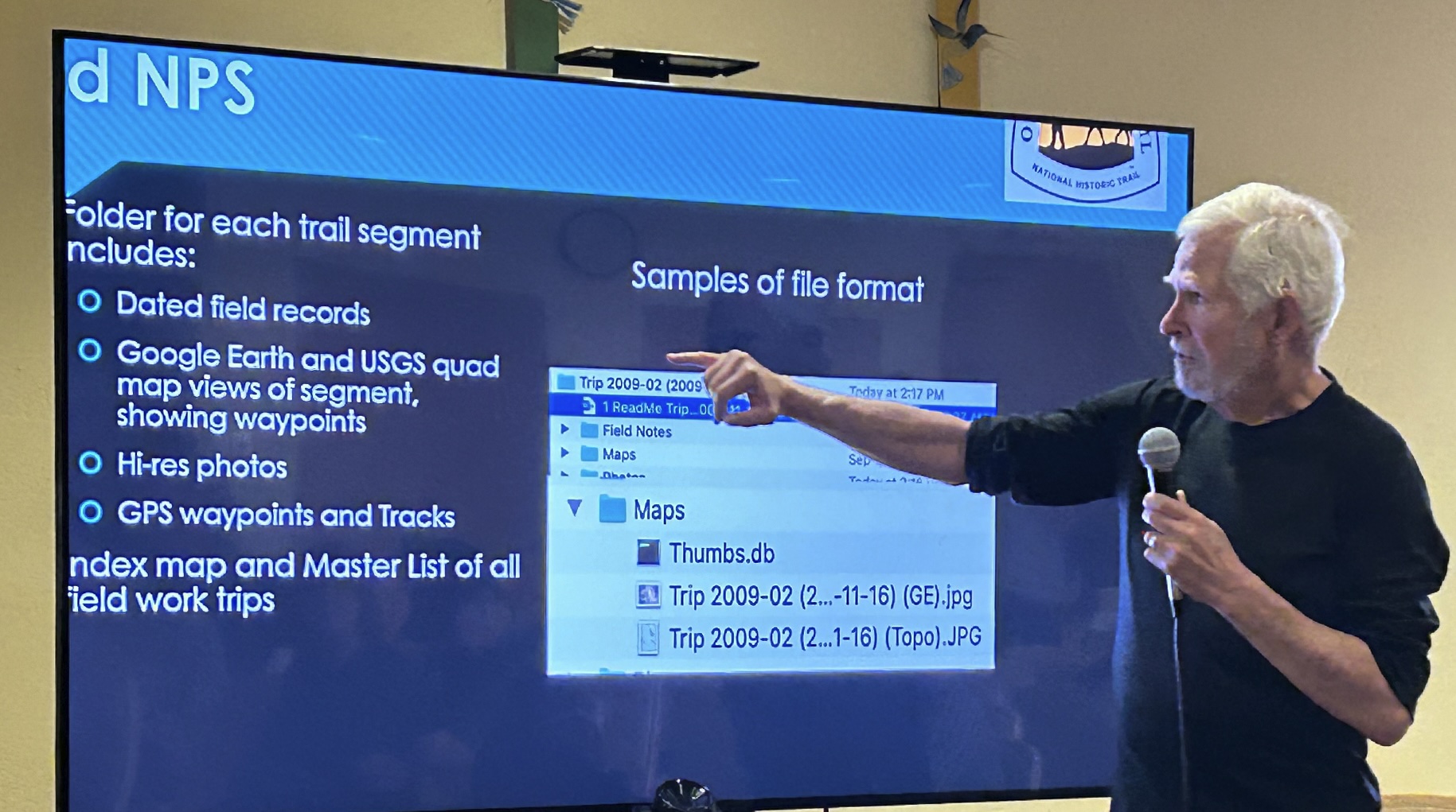
Fieldwork continues and the chapter is seeking members with expertise in mapping and GIS. The data includes GPS tracks, maps, photos, and field notes from numerous field expeditions over the 14 years from 2007 to 2021. As a result of that fieldwork, the Tecopa team was able to develop two proofs that the mule trace they recorded dated back to the 1829-1848 period of the Old Spanish National Historic Trail. In addition, they were able to record the mule trace between two desert springs, supporting John C. Fremont’s 1844 description of the trail route.
Agua Mansa Chapter
 Marisa Yeager, President
Mojave River Chapter
Nelson Miller, President